
The basis for your application
LocosLab geo services enable the cost-effective implementation of location-based applications. In the past, they have served as a solid basis for realizing serveral of our projects. However, we also offer them for external use in third party applications or licensing. If you are interested in either one, just contact us!
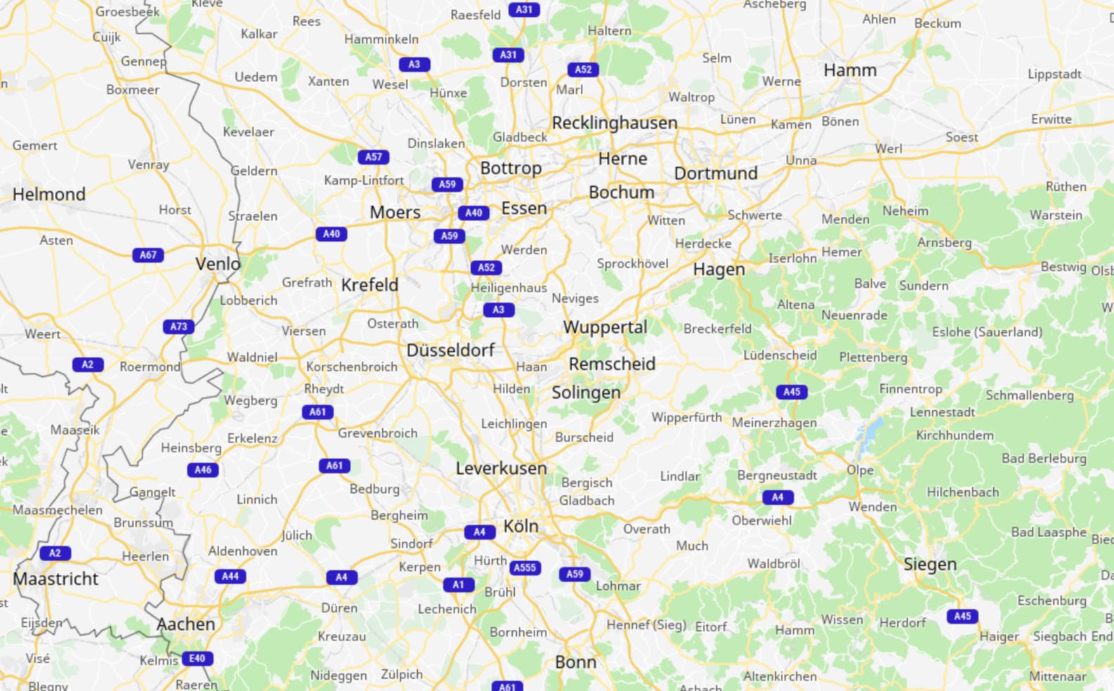
Map visualization
Maps facilitate the spatial understanding and are therefore an important basis for many applications.
To generate outdoor maps, we use a Java-based server-side system for 2D image synthesis based on vector data provided in GeoJson format.
The image synthesis can be flexibly adapted to the needs of different applications via style sheets in YAML format.
Via a web service, the generated images can be integrated into any application. The web service uses the standard Mercator projection with slippy map interface.
The development of web-based applications can be done on the basis of OpenLayers or Leafletjs. For the development of mobile applications, we use our platform-specific libraries for Android (Java) and iOS (Swift).
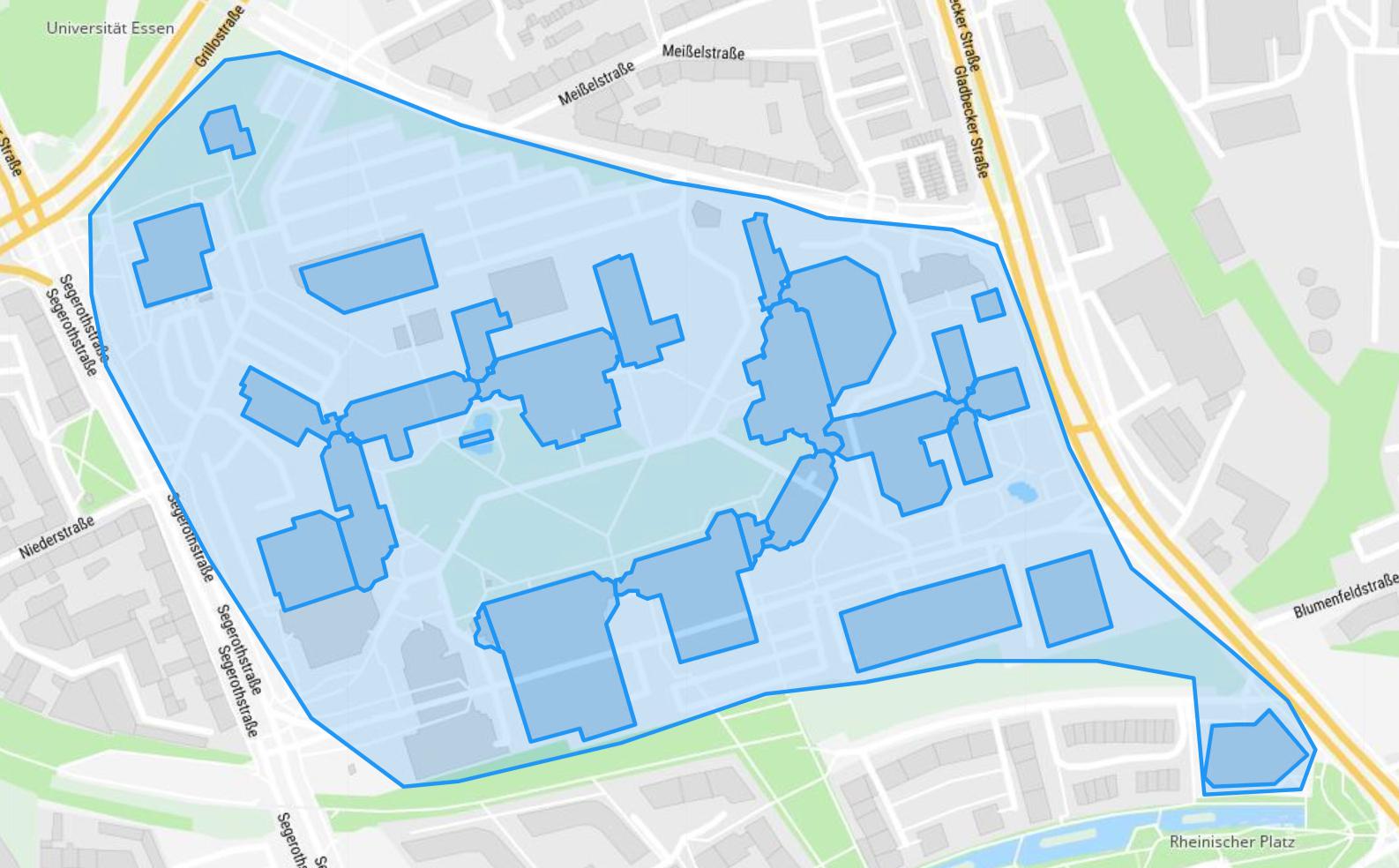
Building modelling
For the integration of buildings and indoor environments, we use our own custom models and tools.
With our tools, we capture rooms, corridors, stairs, elevators and other application-specific building elements. Based on WGS84, we can seamlessly embed them in map visualizations of outdoor areas.
By installing and capturing the location of Bluetooth-based radio transmitters in the building model, we enable indoor positioning and the computation of WGS84 coordinates on mobile devices, even without Internet connectivity.
We support the development of web-based and mobile applications with platform-specific libraries, which are implemented in Typescript (Web), Java (Android) and Swift (iOS).
Route computation
To compute routes, we use freely available geo-spatial data as well as our building models.
For this, we use algorithms that are optimized for the different data models.
For outdoor routes and for calculating transit routes based on GTFS format data, we use A* algorithms.
For indoor environments, we use custom transformations that allow us to convert our building models into routing graphs without additional modeling.
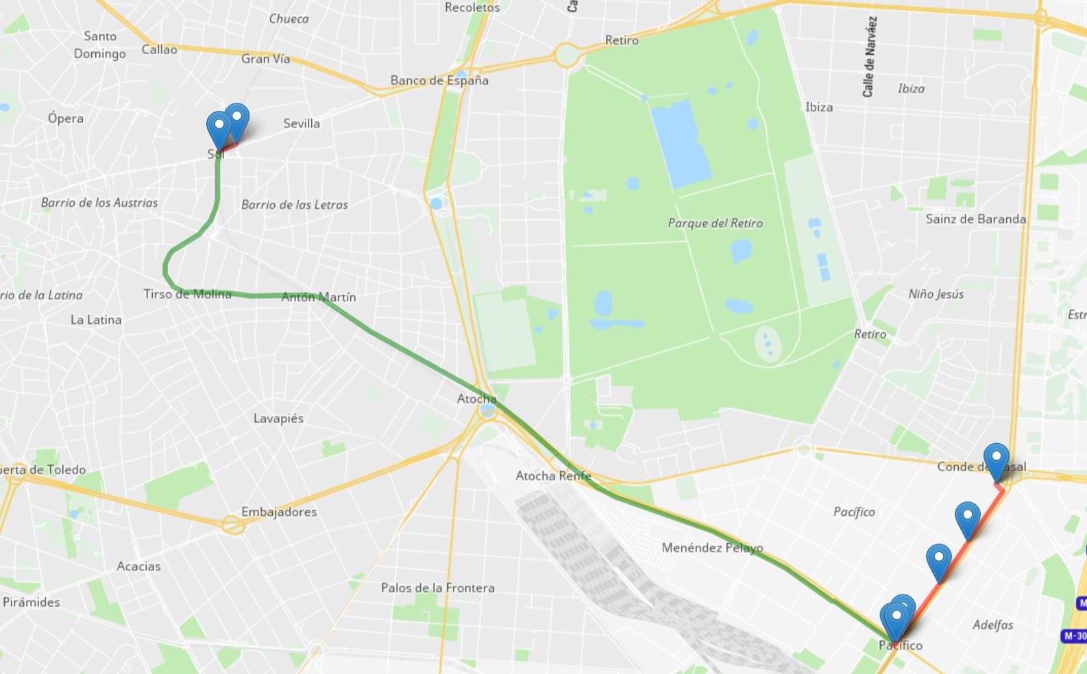
Via a web service, the route calculation can be integrated easily into different applications. To simplify the integration, we represent routes in JSON format that is easy to understand. With the help of our platform-specific libraries, calculated routes can also be used for seamless navigation in outdoor and indoor environments.